


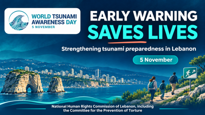
On World Tsunami Awareness Day, observed annually on 5 November, the National Human Rights Commission, including the Committee for the Prevention of Torture, calls on the Lebanese authorities to publish a comprehensive assessment of the country’s tsunami preparedness, complete the coastal early warning and evacuation system, and provide the resources needed to ensure that warnings reach everyone at risk.
The Commission stresses that disaster risk reduction is directly linked to protecting the rights to life, access to information, health and adequate housing, as well as the rights of persons with disabilities. Fulfilling this responsibility requires preventive measures before disasters occur and the translation of scientific knowledge into clear, tested procedures that protect everyone without discrimination.
Recognised risks require preparedness without alarmism
The Commission notes that the possibility of tsunamis affecting Lebanon’s coast is supported by historical records and scientific research. These include studies of the earthquake and tsunami that struck the coast in 551 CE, alongside research on offshore geological structures and faults relevant to seismic hazard assessment. The precise source of the 551 event remains a matter of scientific debate, underscoring the need to update research and compare potential scenarios.
The Commission emphasises that these findings do not mean that a tsunami is imminent, nor do they allow the timing of a future earthquake to be predicted. Not every earthquake generates a tsunami: this depends on the characteristics of its source, seabed movement and other factors assessed by specialists. However, the inability to predict when a disaster will occur does not justify postponing preparedness.
Potential wave impacts vary between locations according to coastal topography, water depth, land elevation and the built environment. A single wave height or arrival time should therefore not be applied to Lebanon’s entire coastline. Local assessments are needed to identify potential inundation zones, evacuation routes and safe areas.
The concentration of homes, schools, hospitals, ports, workplaces and tourism facilities near the sea makes advance planning essential to protecting lives and maintaining basic services.
From scientific monitoring to warnings that reach the public
The Commission stresses the distinction between the absence of any warning capacity and the need to verify that a complete system exists to deliver warnings to the public and enable safe evacuation.
According to Lebanon’s National Council for Scientific Research, the National Center for Geophysics serves as Lebanon’s tsunami warning centre. It receives and evaluates alerts from regional centres before forwarding them to Civil Defense and other relevant authorities. UNESCO’s Intergovernmental Oceanographic Commission also lists the centre as Lebanon’s operational tsunami warning focal point.
The Council also includes the National Center for Natural Hazards and Early Warning, which operates a national multi-hazard platform linked to the Disaster Risk Management Unit and governorate operations rooms. These capabilities provide an institutional and technical foundation that should be supported and strengthened. On their own, however, they do not establish that tsunami warnings reach everyone at risk or that recipients can act on them.
The Commission considers that preparedness assessments must cover the entire warning chain: receiving and assessing scientific alerts, making decisions, issuing public warnings, ensuring their delivery and understanding, and enabling people to reach safety.
The Commission also warns that tsunami hazards may coincide with earthquake damage to roads, buildings, electricity networks and telecommunications. Plans must therefore include backup communications, evacuation routes verified through field assessments, and arrangements to maintain operations when infrastructure fails.
The Commission’s recommendations
1. Produce detailed hazard, exposure and evacuation maps
The Commission calls on the National Center for Remote Sensing, working with centres specialising in geophysics, marine sciences and natural hazards, as well as universities, to prepare and update detailed coastal inundation and exposure scenario maps.
This role draws on the centre’s expertise in satellite data, geographic information systems and spatial decision support. These data should be combined with elevation and bathymetric measurements, specialised modelling and field verification. Simplified public maps should identify hazard zones, evacuation routes and safe areas.
2. Adopt a clear national warning and evacuation protocol
The Commission calls on the Disaster Risk Management Unit at the Presidency of the Council of Ministers, based at the Grand Serail, to coordinate a national protocol identifying the bodies responsible for receiving and assessing alerts; the authority empowered to issue public warnings and evacuation orders; the responsibilities of governorates, municipalities and relevant agencies; and the procedure for declaring the threat over.
This is consistent with the Unit’s role in coordinating disaster risk management nationally and locally. Public instructions should be clearly accessible to prevent conflicting messages or delays in decision-making.
3. Test warning delivery and response effectiveness
The Commission recommends regular joint exercises measuring how quickly alerts are transmitted, whether they reach the public and are understood, and whether evacuation is feasible. Findings and corrective measures should be published.
The use of cell broadcast, sirens, radio, television and local communication channels should be assessed, with alternatives available during electricity and internet outages. The system should not rely on a single mobile application or social media.
4. Prepare evacuation routes and safe areas
Evacuation routes should be identified through local studies, marked with clear and understandable signs, and kept free of obstacles. Exercises should be organised in schools, hospitals, ports, workplaces and tourism facilities, involving residents, municipalities, Civil Defense and relevant authorities.
Any designation of buildings for vertical evacuation must be preceded by a specialist engineering assessment of their safety and suitability, including their ability to withstand potential damage and remain accessible.
5. Ensure accessibility and protection without discrimination
Plans must address the needs of children, older persons, persons with disabilities, patients and people working near the sea, as well as displaced persons, migrants and tourists.
This includes providing warnings in audio, visual and text formats and appropriate languages; arranging evacuation assistance; involving affected people and their representative organisations in planning and exercises; and protecting personal data.
6. Secure funding and strengthen transparency and accountability
The Commission calls for a published national preparedness assessment identifying capabilities, gaps, corrective measures, responsible institutions and implementation deadlines, while safeguarding sensitive information concerning infrastructure security.
It also recommends sustainable funding for the operation and maintenance of monitoring and communications equipment, staff training, and the integration of tsunami risks into coastal spatial planning and the protection of essential facilities and services.
Recognising natural warning signs can save lives
Drawing on United Nations guidance, the Commission recalls that tsunami waves may arrive before official warnings are issued. Anyone near the coast who experiences strong or prolonged shaking, observes an unusual withdrawal or sudden rise of the sea, or hears an unusual roar should move immediately after the shaking stops to higher ground or inland, following a safe evacuation route. They should not wait for a mobile message or approach the sea to take photographs.
People should not return after the first wave recedes, as later waves may be larger. They should wait until the competent authorities declare the threat over.
The Commission stresses that individual awareness must be supported by public services and clear, usable plans. Protecting coastal communities requires everyone to understand the warning, know which route to take and know where to obtain assistance. Institutions must also be able to fulfil their responsibilities when infrastructure is disrupted.
The Commission affirms that early warning fulfils its purpose when it reaches people and leads to action that protects their lives. It calls for existing scientific capabilities to be translated into an integrated, tested system for prevention, warning and evacuation.
Resources
Related websites
- United Nations: World Tsunami Awareness Day.
- United Nations Office for Disaster Risk Reduction: World Tsunami Awareness Day.
- UNESCO: World Tsunami Awareness Day.
- United Nations Office for Disaster Risk Reduction.
- United Nations Development Programme: Tsunami awareness storybooks.
- UN Women: Tsunami hazards.
- United Nations Platform for Space-based Information for Disaster Management and Emergency Response: Tsunami.
- UNESCO Intergovernmental Oceanographic Commission: Tsunami risk reduction and early warning systems.
Lebanon-related sources
- National Council for Scientific Research: National Center for Geophysics.
- National Council for Scientific Research: National Center for Remote Sensing.
- National Center for Natural Hazards and Early Warning.
- UNESCO: Lebanon’s participation in tsunami coordination and warning arrangements.
- UNDP: Strengthening Disaster Risk Management Capacities in Lebanon.
Reference documents
- UN General Assembly resolution 70/203 on World Tsunami Awareness Day.
- Global Status of Multi-Hazard Early Warning Systems 2025.
- Sendai Framework for Disaster Risk Reduction 2015–2030, endorsed by General Assembly resolution 69/283.
- Hyogo Framework for Action 2005–2015 — Arabic-language document.
هذه المقالة متاحة أيضًا بـ:
 العربية (Arabic)
 Français (French)

